
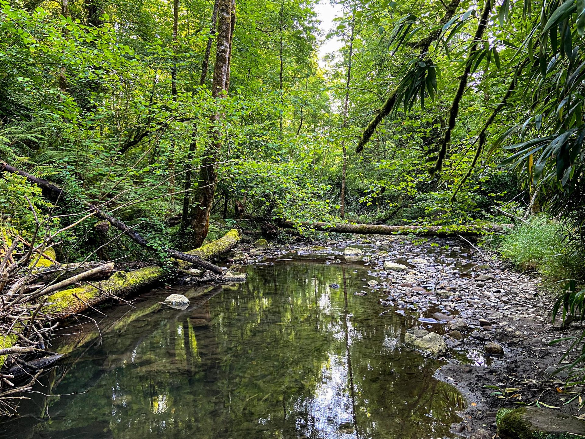
The Bruce Trail is the oldest and longest marked footpath in Canada. Its main route runs about 900 kilometres (560 miles) along the Niagara Escarpment from Queenston, near the Niagara River, to Tobermory at the tip of the Bruce Peninsula, with several hundred more kilometres of blue-blazed side trails. For a youth group based in Woodstock, the nearest stretch is less than an hour east by road, where the escarpment wraps around Hamilton and Dundas. It is the best day-hiking ground in southwestern Ontario, and it is where we take a group that has never walked on rock, over roots and beside a real cliff.
Table of Contents
What the escarpment actually is
The escarpment is a ridge of hard dolostone, laid down as a tropical seabed more than 400 million years ago, sitting on softer shale. Streams cut through the cap rock and undercut the shale beneath, which is why the region is full of waterfalls and why the cliff faces hold on to their overhangs. The whole escarpment was designated an international biosphere reserve in 1990. On the cliff faces grow eastern white cedars that have been dated at more than 1,000 years old – stunted, twisted trees no thicker than an arm that are among the oldest living things in eastern North America. We point them out to every group; nobody believes it the first time.
Reading the blazes
Navigation on the trail is simple once a group learns the system. The main trail is marked with white rectangular blazes painted on trees, posts and rocks. Two blazes, one offset above the other, signal a turn in the direction of the upper blaze. Side trails carry blue blazes and usually lead to a lookout, a waterfall or a parking area, and they always reconnect to the main trail or a road, so they are useful for building loops. We give each patrol a printed map and let the young people lead by blaze, with a leader at the back to catch anyone who misses a turn. Losing the trail and finding it again is part of the lesson.
Three day hikes near Hamilton that work for groups
The escarpment around Hamilton holds more than 100 waterfalls, and several sit right beside the trail. The valley west of Dundas is our first choice for a beginner group: a broad wooded bowl with a network of well-graded trails, a rail trail along the valley floor and a stretch of the main trail up on the rim. An out-and-back of 8 to 10 kilometres (5 to 6 miles) with about 150 metres (500 feet) of total climb is a good first outing for ages 8 to 12.
North of Dundas, a gorge holds two of the region’s best-known falls a short walk apart: one a wide curtain about 22 metres (72 feet) high, the other a thin ribbon dropping around 41 metres (135 feet) into a narrow chasm, with a clifftop lookout above the valley. It is spectacular, and it is busy: on autumn weekends access is managed with reservations and shuttle parking, so we go on weekdays or in the off-season. Further east, the ridge above Stoney Creek has a horseshoe-shaped bowl carved into the cliff, about 37 metres (120 feet) deep, where the layered rock reads like a textbook page.
For older youth, the cliffs north of Burlington and around Milton offer the escarpment at its most vertical: a walk along the rim with the flat farmland spread out 80 metres (260 feet) below, turkey vultures riding the updraft at eye level, and the ancient cedars growing out of cracks. Trails here are rocky, rooty and slippery when wet, and there is no fence at the edge.
Planning the day
Most of the good trailheads are inside conservation areas that charge a per-vehicle or per-person fee, and some require an advance booking on busy weekends. We check that before the group is in the van. Distances on the escarpment are deceiving; a 10-kilometre (6-mile) hike with a few climbs up and down the cliff takes a mixed-age group four hours with breaks, not two. We plan for 2 to 3 kilometres (1.25 to 2 miles) an hour, build in a long lunch at a lookout and set a turnaround time that we keep regardless of how close the next waterfall seems.
- Footwear with grip: the dolostone polishes smooth and is treacherous when damp.
- One litre of water per person for a half-day, two for a full day in summer; there is no safe water on the trail.
- A group first-aid kit and a leader who knows the nearest road access for every hour of the route.
- A clear rule that nobody passes the leader at the front, especially on the rim sections.
Seasons on the trail
Spring, from mid-April to late May, brings the waterfalls at full volume and the forest floor covered in trilliums, but the trails are muddy and the gorges are cold. Summer is green and shaded, though the falls shrink to a trickle by August. Late September to late October is the season the escarpment is famous for: sugar maples, oaks and hickories turn the cliffs orange and red, the air is dry and the light is low. Winter hikes are possible and beautiful, with the falls frozen into columns, but icy rock near an edge is a leader’s judgement call, and traction devices on boots are the minimum.
Leaving it as we found it
The trail exists because thousands of volunteers maintain it and because private landowners allow it to cross their fields and woodlots. We stay on the marked path, close every gate, carry out every wrapper, and keep the noise down near houses. Cliff edges are the one place we are unbending: youth stay two body lengths from any edge unless a leader is beside them, and no one climbs the rock. A day on the escarpment should end with tired legs, muddy boots and a group that has learned to follow a blaze, not with a phone call from a rescue crew.